File:Palindra map.jpeg
From The Far Side of Utopia Wiki
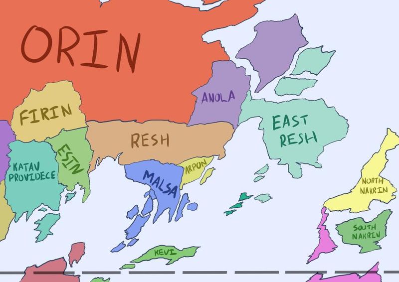
Revision as of 09:11, 16 July 2018 by WestleyRoberts (Talk | contribs) (Map of Palindra, including the countries: Orin, Firin, Anola, East Resh, Katav Providece, Esin, Resh, Malsa, Arpon, Kevi, North Nakrin, South Nakrin.)

Size of this preview: 800 × 566 pixels. Other resolutions: 320 × 226 pixels | 877 × 620 pixels.
Original file (877 × 620 pixels, file size: 60 KB, MIME type: image/jpeg)
Map of Palindra, including the countries: Orin, Firin, Anola, East Resh, Katav Providece, Esin, Resh, Malsa, Arpon, Kevi, North Nakrin, South Nakrin.
File history
Click on a date/time to view the file as it appeared at that time.
| Date/Time | Thumbnail | Dimensions | User | Comment | |
|---|---|---|---|---|---|
| current | 09:11, 16 July 2018 | | 877 × 620 (60 KB) | WestleyRoberts (Talk | contribs) | Map of Palindra, including the countries: Orin, Firin, Anola, East Resh, Katav Providece, Esin, Resh, Malsa, Arpon, Kevi, North Nakrin, South Nakrin. |
- You cannot overwrite this file.
File usage
The following page links to this file: